
Sources Around Shawnee Neighbors
A block search works best as a small ledger. Start with one verified Shawnee address, then record what each source actually says about the parcels beside it. AIMS is the geographic base. Plat, zoning, tax, association, and election records answer narrower questions. None is a full list of all people on the block.
| Source | Block Detail | How to Access It |
|---|---|---|
| Johnson County AIMS | Parcel outlines, site and mailing fields, legal description, ZIP, ward, precinct, schools, and nearby places | Free public map; some owner or sales fields can be restricted |
| AIMS plat database | Subdivision, lot, block, book/page, year, recorded date, and map number | Free search; image, sign-in, and $5 notice may apply |
| City zoning layer | Current and prior zoning, effective date, and ordinance | Public GIS map service |
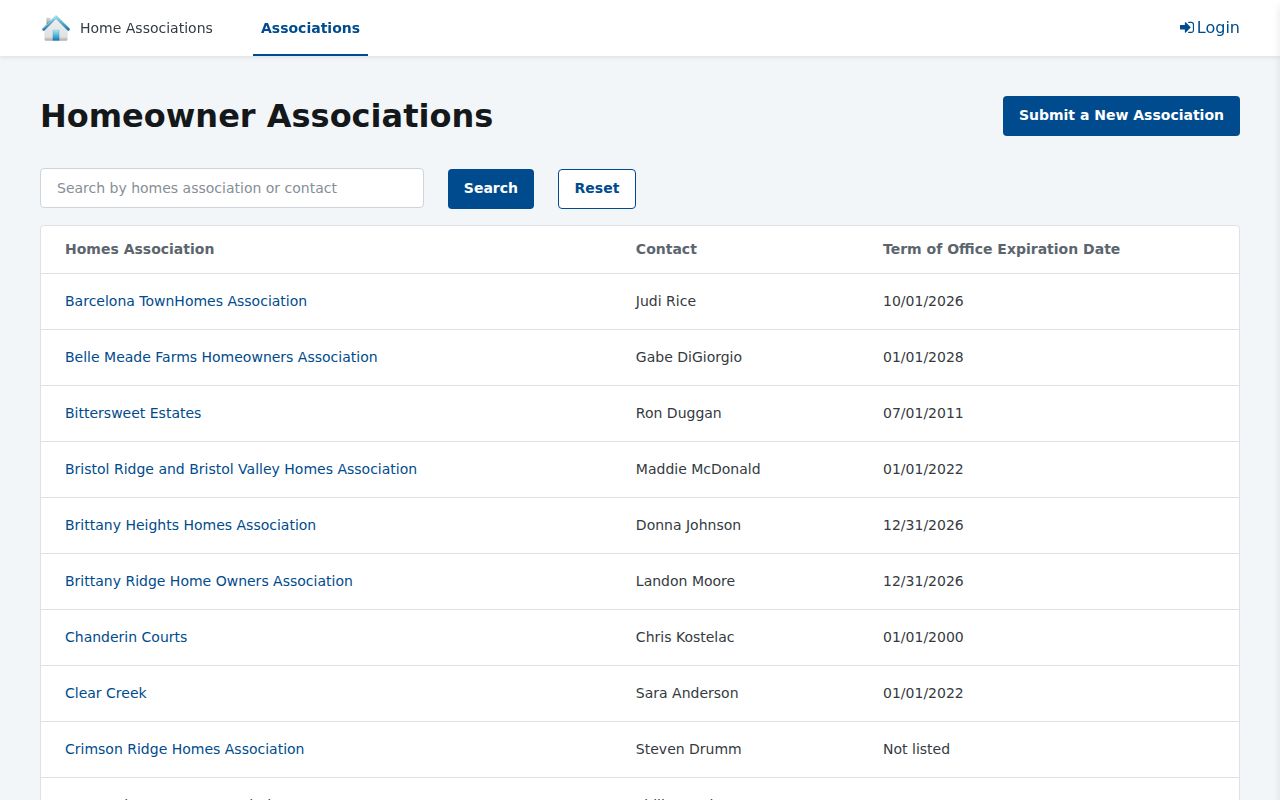
| Homes Associations portal | Association name, designated contact role, and term expiration | Anonymous city portal; private associations are not city-regulated |
| Johnson County voter file | Regulated address, precinct, district, and registration fields | Inspection or written request with noncommercial certification |
| Directories and maps | Older address-to-name lines and changes in streets or buildings | JCL, KSHS, LOC, museum, and archive holdings |
The owner field may name a person, trust, estate, or entity. A separate mailing address may belong to a billing recipient. Neither field confirms every occupant. To identify Shawnee neighbors responsibly, label an owner as an owner and leave household membership unclaimed unless another lawful, dated source supports it.
Map Shawnee Neighbors Parcel by Parcel
The verified method uses the Johnson County AIMS Online Mapping viewer. No radius or buffer search was confirmed in the research. The reliable route is to enter an address or property ID, select its parcel, and click the outlines next door. Save the selected property ID and source date whenever parcels overlap.
- Enter the exact street address and confirm the displayed Shawnee site address.
- Save the anchor parcel’s KUPN, quick reference, legal description, lot, block, and subdivision.
- Click each adjoining parcel. Record its parcel ID, site label, legal description, and land-use context before any name.
- Compare owner and billing labels with the physical site. Treat a mismatch as a lead, not an occupancy finding.
- Use plat, zoning, ward, ZIP, and nearby-place layers to describe the block without inferring traits about residents.
This is an immediate-block method. A full named-road chain belongs in the Shawnee street directory, where parcels can be followed across a longer extent.
Shawnee Neighbors and Associations
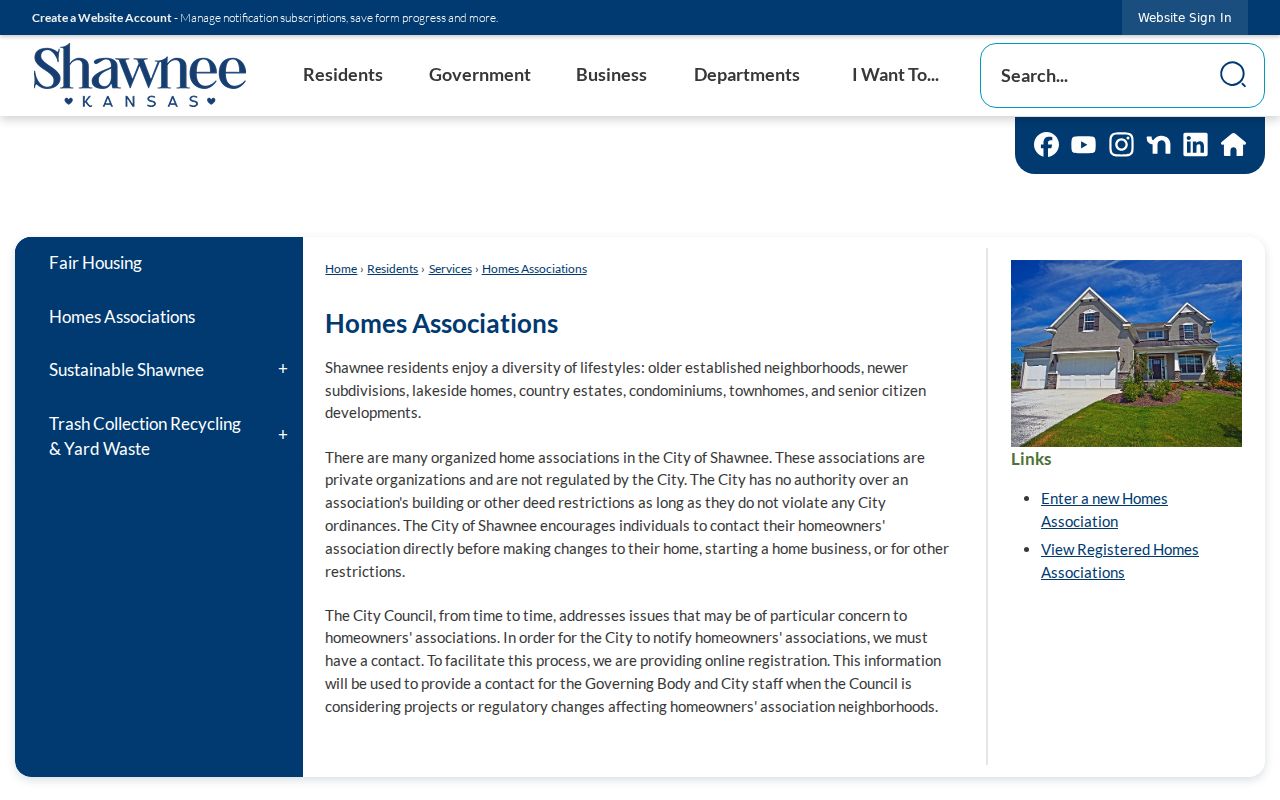
The City Homes Associations page states that homes associations are private organizations and are not regulated by Shawnee. The city has no authority over private deed restrictions beyond municipal ordinances. Its public registration route is useful for finding an association name and governance contact, not for listing member households.
City guidance
Explains the private status of associations and links to the city’s registration and contact directory.
Association portal
Searches by association or contact and displays association, contact role, and term-expiration columns.
AIMS subdivision layer
Tests whether an association name matches the parcel’s subdivision, plat, or neighborhood geography.
The observed portal showed 60 rows with 20 per page, but those records can change. Keep the capture date and avoid republishing personal contact details. An officer or registered point of contact is not a roster of Shawnee neighbors.
The anonymous association search exposes the current city-maintained index.
The city’s association guidance keeps the private-organization warning beside that search route.
Place Shawnee Neighbors in Context
AIMS adds more than parcel ownership. Its map and location card can show neighborhood, subdivision, city, ZIP, school, precinct, ward, FEMA panel, watershed, utilities, and nearby public places. The nearest library, park, trail, fire station, hydrant, and post office help describe a block. Proximity does not show that a resident uses or belongs to any facility.
The Shawnee ward map was updated in August 2024, and the city ZIP map in November 2022. Boundaries change. Store the date with the layer. Current and earlier zoning layers can add land-use history and ordinance dates, but zoning says nothing about identity or occupancy.
Note: A parcel, postal area, ward, precinct, subdivision, and association can overlap without sharing the same boundary.
Kansas Rules for Shawnee Neighbors
Kansas offers an individual VoterView self-lookup and a separate regulated voter-file request. The Johnson County Election Office request page identifies fields such as name, residential and mailing addresses, precinct, districts, registration date, and voting history. It does not expose ballot choices.
Under K.S.A. 25-2320, registration books and active lists may be examined under supervision, and copies must be requested in writing. Sensitive identification numbers are removed. The county request form requires identification and a certification against prohibited commercial use. K.S.A. 25-2309 also permits residence-address concealment when an unwarranted privacy or safety threat exists. A concealed address is a boundary to honor, never a prompt to reconstruct it from other layers.
A voter file can show a dated registration relationship to an address. It cannot prove that every adult on the block is registered, that a listed person remains there now, or that unlisted household members do not exist.
Old Names Around Shawnee Blocks
Modern Shawnee absorbed areas known as Woodland, Zarah, Wilder, Chouteau, Frisbie, Monticello, and Holliday through annexation milestones in 1968, 1971, 1984, and 1987. Older deeds, directories, maps, and news items may keep those place labels. Preserve the historic name beside the current city, ZIP, and legal parcel.
This geographic layer can solve a failed search. A historical record might say Shawneetown, a township, or a former postal place even when the same land now lies within Shawnee. The Shawnee Town 1929 museum provides local business and community context for this earlier landscape.
Historic Clues Near Shawnee Neighbors
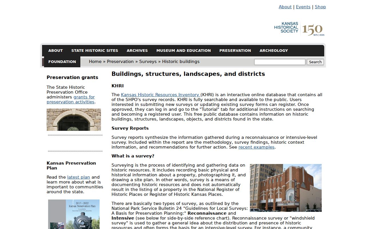
The Kansas Historic Resources Inventory can identify surveyed buildings, structures, landscapes, and districts near a block. Its result is a historic-resource record, not a resident list. Match its address, resource name, date, and geographic fields to AIMS before using it as context.
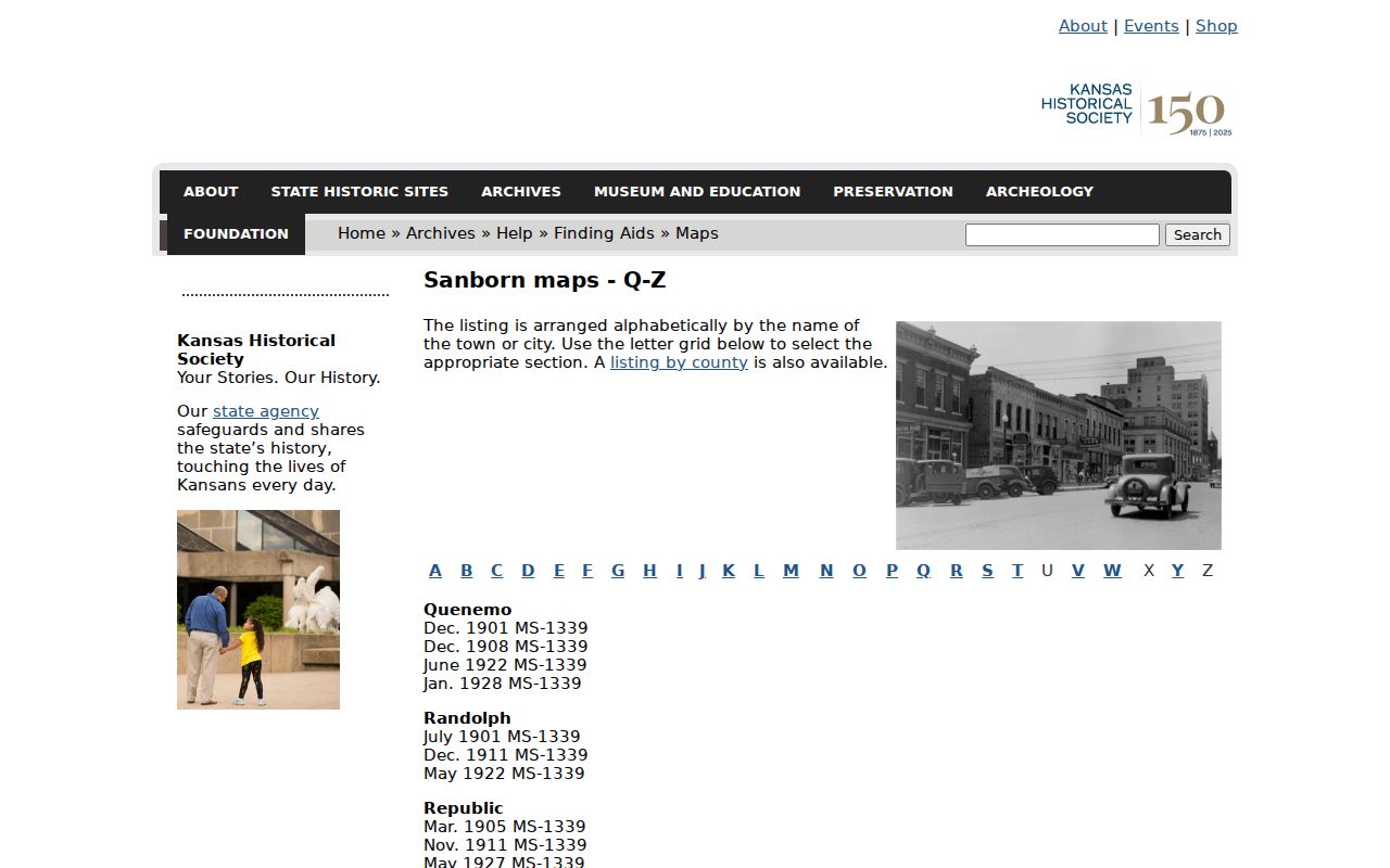
KSHS also lists Shawnee in Sanborn volume 4 for 1931 and 1931 through July 1950. A sheet may show building footprints, materials, uses, street names, and fire features. The direct Shawnee sheet was not exposed, so consult the exact volume and sheet rather than citing the finding aid as if it were the map image.
The KSHS Sanborn finding aid is the official starting point for requesting the Shawnee volume and sheet.
Johnson County Block Archives
When a parcel trail reaches beyond current web layers, Johnson County historical records provide older tax, land, probate, court, marriage, naturalization, and military holdings. The research room and limited-search service are the fallback, since no single online block index combines them.
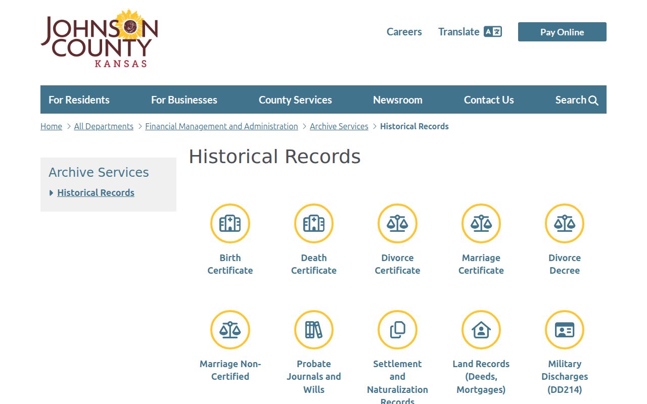
Ask for a defined record type, legal description, date range, and known name. A request for a new list of everyone on a block would ask the custodian to create a record, which the Kansas Open Records Act does not require.
Official Shawnee Block Records
Commercial neighbor tools often merge old names, phone data, and addresses without showing the source date. Official records are narrower, but their labels and custodians make each fact easier to test. Use the source that matches the question.
| Source Type | Strength | Limit |
|---|---|---|
| Official parcel and plat records | Dated land, owner, legal, and map fields | Owner is not the same as occupant |
| Official association index | Named organization and governance contact | Not a membership or household roster |
| Regulated voter file | Dated registration and civic geography | Restricted use, omissions, and concealment apply |
| Commercial compiled results | May surface a quick lead | Unclear dates, mixed jurisdictions, and stale household links |
Verify any lead at the custodian. Record the date, exact field name, and whether it identifies an owner, taxpayer, voter, association contact, or historical directory entry.
Privacy for Shawnee Neighbors
Utility customers, delivery records, and a complete list of household members are not public block directories. Kansas Safe at Home provides a substitute address for eligible participants. K.S.A. 45-211 also restricts property-search access for protected professions, and election law permits voter-address concealment. Blank or restricted fields should stay blank.
A neighbor search can support civic curiosity, community contact, a boundary question, or personal safety awareness. It should stop where the record stops. Do not infer a renter, child, relationship, routine, or protected location from an owner name, nearby parcel, school layer, or association contact.
Lawful use. Use Shawnee neighbor records to understand the block, not to monitor or intimidate a person. Kansas law prohibits stalking and harassment by telecommunications.