
Walk a Shawnee Street Record
Begin with the exact physical address, not a surname. Johnson County's official map links that address to a parcel outline, a Kansas Uniform Parcel Number, a quick-reference number, and a legal description. Those stable keys let the same property be followed when a street label changes or a lot is split. A parcel is a legally described piece of land. It is not a household list.
The Shawnee street directory works best as a chain of dated records. Save the selected parcel and source date at every stop. An owner, taxpayer, permit applicant, deed party, registered voter, and printed directory occupant are different roles. Agreement among sources strengthens a conclusion, but one label should never be silently converted into another.
- Confirm the address in AIMS Address Search, then open the parcel card and map.
- Record the site address, owner and billing fields, parcel keys, lot, block, subdivision, and legal description.
- Check nearby parcels on AIMS Online Mapping, keeping each selected property ID separate.
- Use the legal description and deed parties at the Register of Deeds to follow the recorded chain.
- For a past occupant, check the right year and geographic title in a reverse directory, then test the lead with another dated source.
For one named person rather than a whole street, the Shawnee resident lookup uses a narrower verification path. A whole-street pass should focus on parcels and record roles, not copy every visible name into a new roster.
Shawnee Street Fields in AIMS
AIMS supports searches by address, property ID, owner, parcel, ZIP, plat, subdivision, neighborhood, school, legal description, and street intersection. A street-name result may be partial, and the map can show several stacked parcels. Preserve the selected parcel ID and the map extent so a later reader can tell which record was used.
| Search field | Useful input | What to save |
|---|---|---|
| Address or intersection | Full or partial street address | Matched site string and map point |
| Parcel or property ID | KUPN, quick reference, tax or geo ID | Exact selected identifier |
| Legal or plat | Subdivision, lot/block, book/page | Recorded description and plat link |
| Geography | ZIP, ward, precinct, school | Layer name and source date |
| Nearby places | Map browse around selected parcel | Public facilities, not household claims |
The AIMS location service expands a parcel into assessment, land-use, school, election, Census, FEMA, utility, and nearby-place fields. These layers explain a Shawnee address in civic and physical terms. They do not add residents who are absent from the parcel record.
The captured AIMS address utility shows the official starting point for a street search.
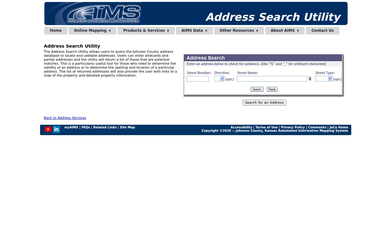
The address utility narrows the correct parcel before ownership, appraisal, and deed fields are compared.
The Johnson County Appraiser page explains the official property-search and valuation route.
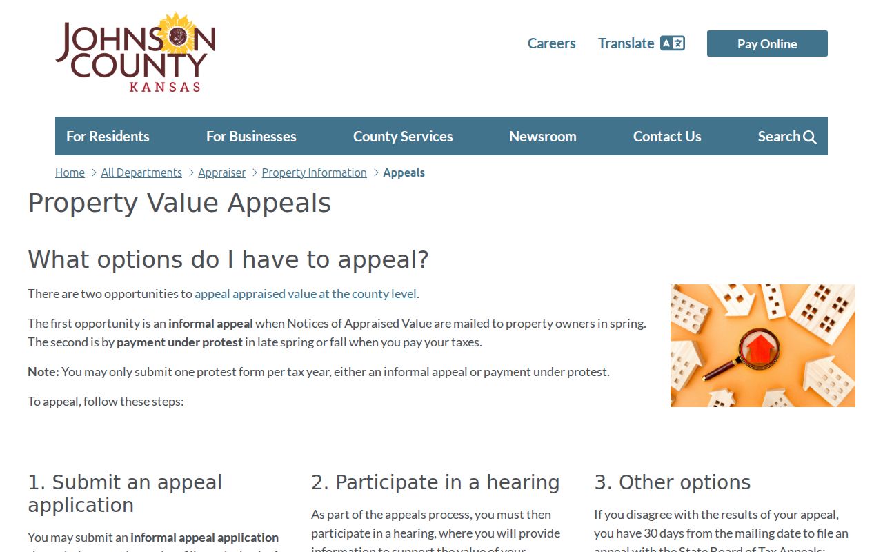
Its valuation role is distinct from the recorder's instrument history and from proof of who occupies an address.
Its address-first route helps prevent an owner-name search from drifting to a different parcel or another city.
Records Along a Shawnee Street
Each keeper answers a different address question. The Appraiser and AIMS describe parcels and assessment facts. Treasury records tax accounts. The Register of Deeds preserves instruments. Shawnee Community Development handles permit and land-use records. Historical collections can supply a dated occupant or business lead.
| Address source | Official keeper | What it can establish | Access route |
|---|---|---|---|
| Parcel card and GIS | Johnson County Appraiser and AIMS | Owner field, situs, mailing, legal description, use and civic layers | Free map and location card; some owner or sales fields may be restricted |
| Tax account | Johnson County Treasury | Account, taxpayer or owner label, mailing, situs and bill status | Quick or advanced web search |
| Plat | Johnson County AIMS | Subdivision, lot, block, recorded date and book/page | Free search; image notice may show a $5 charge |
| Recorded instruments | Johnson County Register of Deeds | Grantor, grantee, instrument, reception, book/page and tract | Public terminal, office or mail help, legacy/new system, or defined KORA request |
| Permit and zoning | City of Shawnee | Site, category, applicant or contractor, date/status when returned | CitizenServe and GIS; City Clerk request when the portal lacks a result |
| Historical directory | JCL, KSHS, LOC and JoCoHistory | Printed occupant or business tied to an address and edition | Library desk, research room, catalog or digitized sample |
The parcel number and legal description form the strongest bridge between these sources. A street string can be abbreviated, misspelled, or changed. A legal description is tied to the land, though it too must be checked when a tract is divided.
Shawnee Site and Mailing Addresses
A situs address is the physical location of the parcel. A mailing address is where the owner or billing recipient receives notices. The two may match, but a different mailing address does not prove that either place is someone's home. Trusts, estates, companies, and public bodies can also appear in the owner field.
- Parcel
- A mapped piece of land identified by a legal description and county keys.
- Situs address
- The location assigned to the land or structure, separate from a billing address.
- Plat
- A recorded map that divides land into subdivisions, lots and blocks.
- Criss-cross directory
- A dated directory arranged by street and house number instead of surname.
Copy the label with the value. “Owner,” “billing,” “applicant,” and “occupant” are not synonyms. On a Shawnee street directory entry, the role and date are as important as the name.
Note: A county ownership record can support a property link, but it does not name every person present at the address.
Shawnee Plats and Deed Paths
The AIMS plat database accepts plat name, book and page, map number, year, recorded date, city, and plat ID. Search results can identify a subdivision and recorded shape before the deed index is opened. The county warns that a displayed plat may be non-certified, incomplete, or not to scale. Use a certified copy when the legal status of a boundary matters.
At the Johnson County Register of Deeds, grantor means the party conveying an interest and grantee means the party receiving it. Record the nature of the instrument before treating it as a transfer. A mortgage, lien, release, correction, quitclaim, or transfer-on-death instrument does not by itself show a sale or a change of residents.
The county document library reports public material from 1920 through 1987 and plats from 1866 forward, while a new electronic records system was anticipated for fall 2026. A legacy subscription cutoff was set for July 1, 2026. Confirm the live route before relying on an old login link. Office terminals, mail requests, and a specific Kansas Open Records Act request remain fallback channels.
The saved AIMS plat search illustrates the field-based route from a Shawnee street to its recorded subdivision.
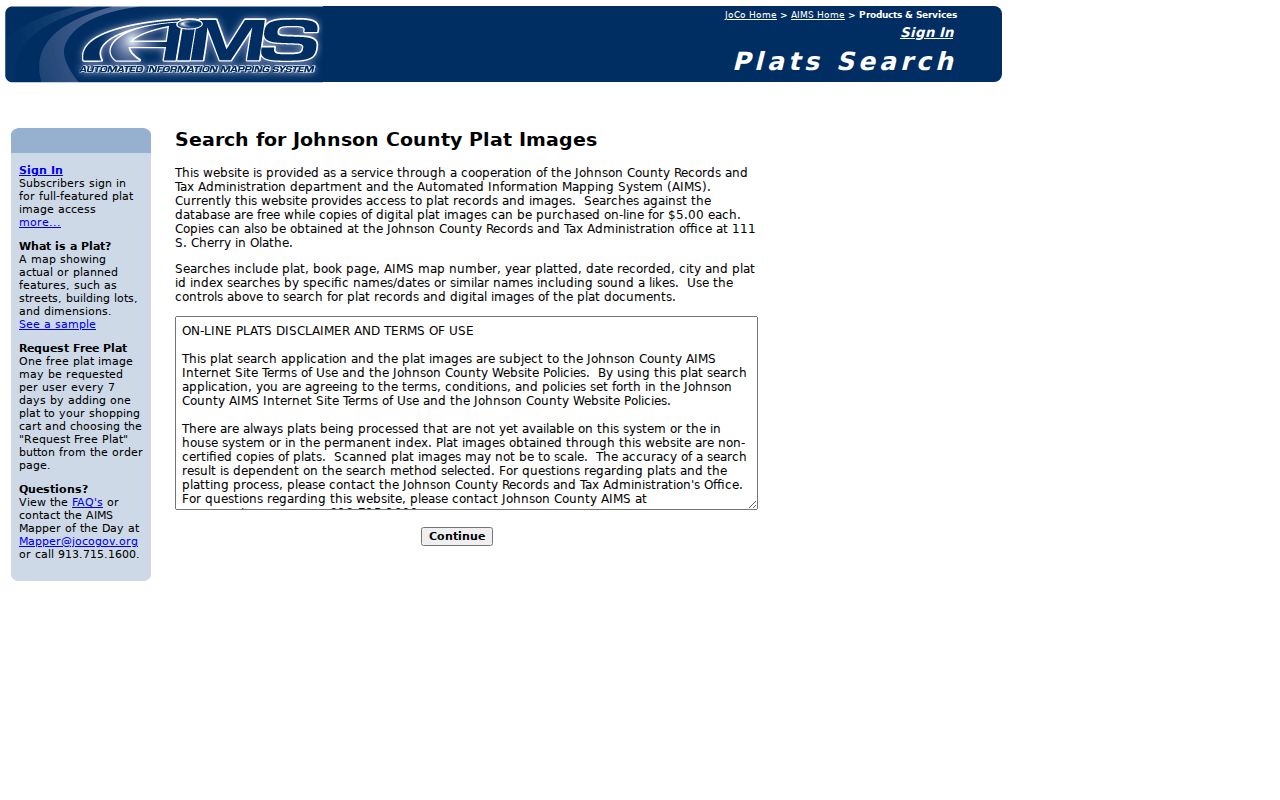
The result supplies the recorded plat reference needed before a deed-chain search moves backward.
The Register of Deeds document guide describes Johnson County's index and transition notices.
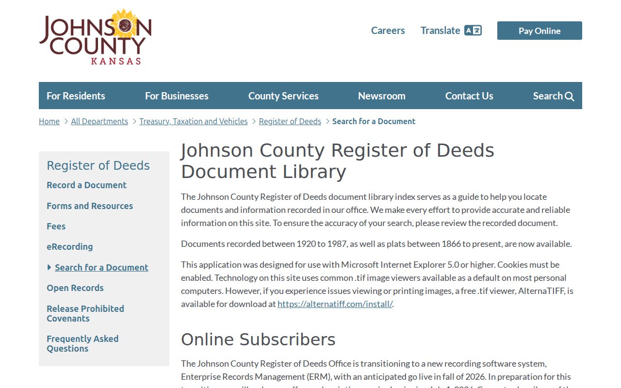
The guide should be checked for the current public route before relying on a legacy subscription or login.
Plat keys can reconnect an old lot reference to a current parcel without guessing from a modern street number.
Shawnee Streets Across Annexations
Historical place names are working search terms in Shawnee. City history records Shawneetown's 1856 incorporation, the 1922 re-incorporation, and annexation milestones in 1968, 1971, 1984, and 1987. Woodland, Zarah, Wilder, Chouteau, Frisbie, Monticello, Holliday, K-7, and the Kansas River can all help explain why an old entry does not appear under today's city label.
The downtown tour also says street names and buildings changed between the 1856 and 1922 plats. No official citywide street-renumbering or conversion table was found. Do not force an old lot number into a current house number. Search the source-era place, plat, tract, and street label, then build a separate modern crosswalk through AIMS.
This is a useful geographic lesson for the Shawnee street directory: a postal city, incorporated city, township label, annexed place, and county parcel can describe related but different boundaries. Preserve each as printed.
Shawnee Street Permits and Zoning
Shawnee's CitizenServe portal routes building, floodplain, land-disturbance, public-improvement, right-of-way, sign, business, special-event, and land-use services. Its complete dynamic search fields and result coverage were not exposed in the official review. Where a permit returns, preserve the site, record category, applicant or contractor role, date, and status. A permit dates work or review, not who occupied the property.
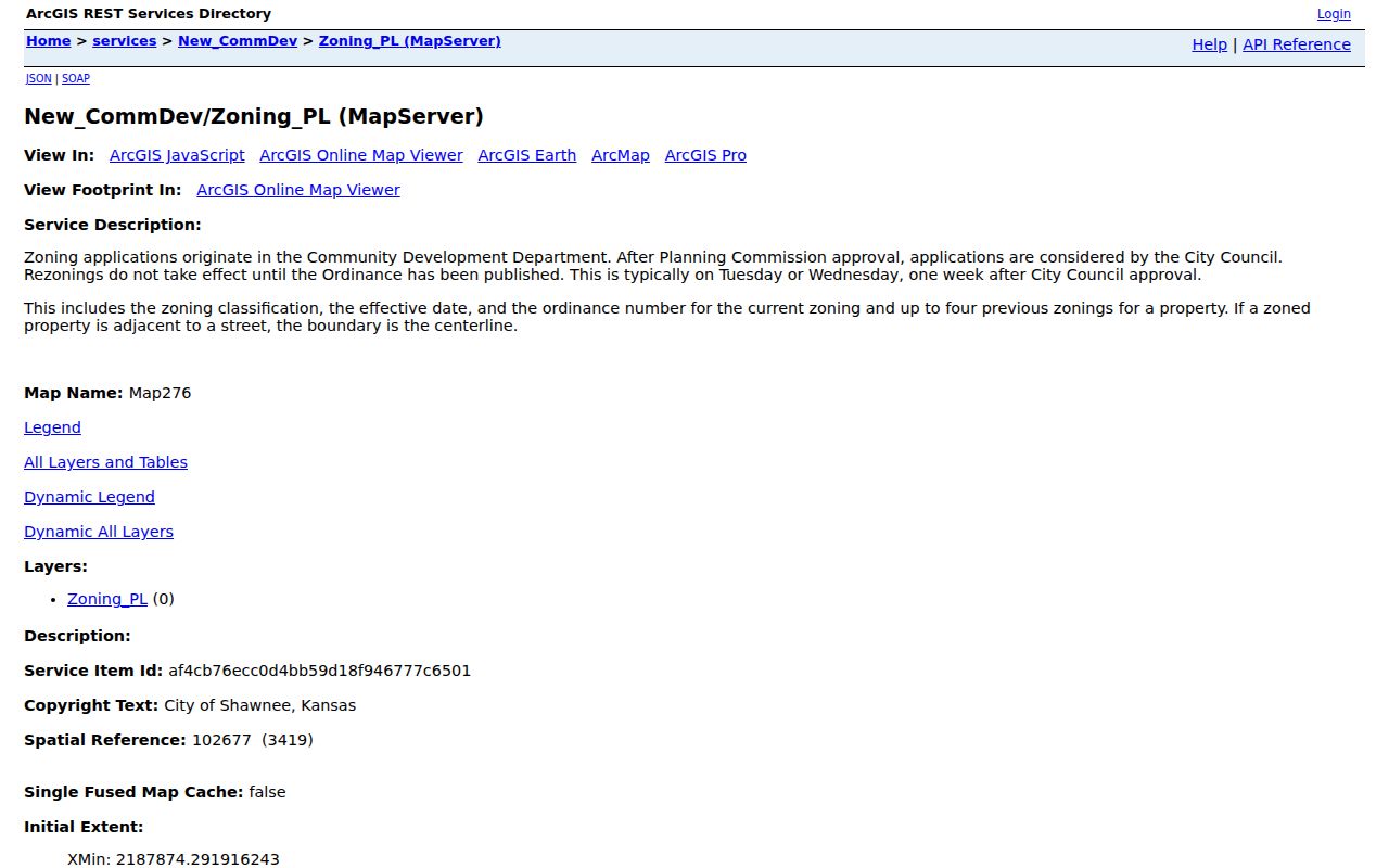
The City zoning map service publishes current and up to four prior zoning layers with effective dates and ordinance references. That history can show when permitted land use changed. It cannot identify a household.
The captured Shawnee zoning service is a visual check on the official land-use layer.
If the portal has no case result, contact Community Development or ask the City Clerk for a defined existing record by address, category, and date range.
Historic Layers for Shawnee Streets
Maps and directories show different parts of a street's past. Kansas State Historical Society lists Shawnee in Kansas City Sanborn volume 4 for 1931 and 1931 through July 1950. Sanborn maps can show footprints, uses, materials, heights, and fire walls. A direct Shawnee sheet was not exposed, so request the exact volume and sheet and save its date.
Johnson County Museum adds atlases from 1860, 1874, 1902, and 1922, built-environment images, and aerial sets. AIMS imagery spans 1941 through 2025. Preliminary 2026 imagery was visible but marked unverified, with final imagery expected later in summer. These images may show a road or structure change. They do not show who lived there.
The Kansas historic-property research guide ties deed, tax, mortgage, probate, permit, map, Sanborn, and local-history work into one careful method. It is the right fallback when a Shawnee address outlives its street label.
The same KSHS property guide provides a visual checklist for organizing those historical layers.
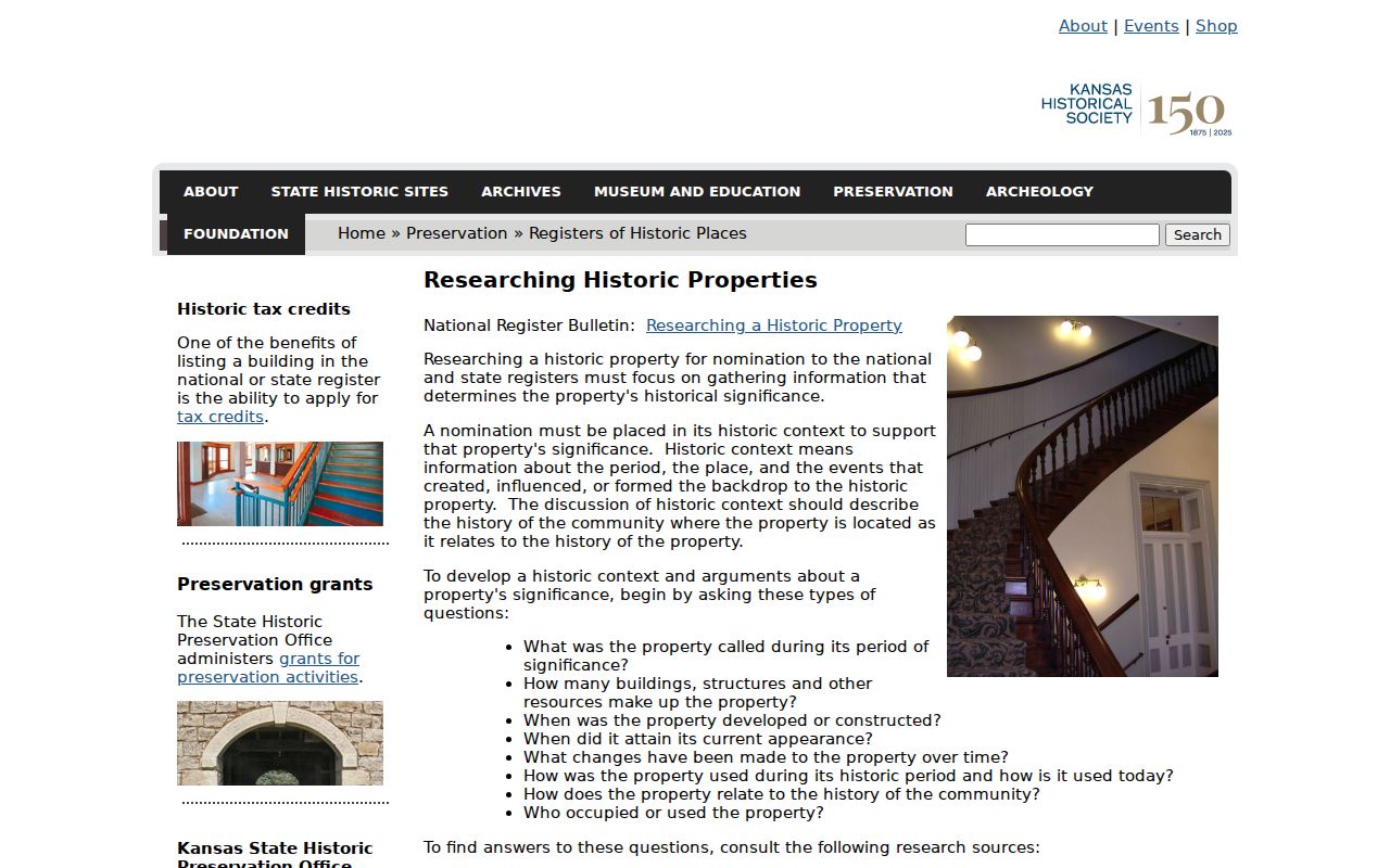
Following that checklist keeps maps and permits as building evidence unless a dated directory or record also names a resident.
Reverse Directories by Shawnee Street
The Library of Congress criss-cross guide lists Greater Shawnee Mission volumes for 1969 through 1972 and 1979. These are the closest historical street directory sources designed for an address-first search. A typical volume orders entries by street and house number, but the printed instructions and geographic title control. Capture the publisher, edition, street index, entry type, and page.
Johnson County Library's genealogy desk offers local directories, yearbooks, maps, microfilm and reference help. KSHS has statewide city, county, business, farm, telephone, and gazetteer holdings from 1859 forward, but less than five percent is online. When a web search fails, the documented chain is the library desk, KSHS finding aid and research room, and Library of Congress catalog.
A reverse entry is dated evidence, not a present claim. To learn how a whole volume is arranged and read, use the Shawnee city directory collections. On this street page, the volume supplies one address-to-name lead that must be checked against its year and boundary.
Limits of Shawnee Street Records
No public Shawnee street directory is a complete current roster. Parcel and tax systems focus on land interests and billing. Deeds record instruments. Permit files document an application or project. Voter records have statutory limits and may conceal protected addresses. Utility-customer lists were not exposed as a public index, and motor-vehicle personal information is limited by federal law.
Kansas voter information can be inspected or requested through the Johnson County Election Office, subject to certification, redaction, and a bar on commercial use. The official VoterView tool is an individual registration and polling lookup that requires identifying details. It is not a street-wide public export. Safe at Home and other concealment rules can lawfully keep an address out of view.
Use records lawfully. Shawnee address records support personal research and civic inquiry. Never use a street search to stalk, harass, intimidate, or harm anyone.
State the narrow fact each record proves. “The dated county parcel card identifies an owner and mailing relationship” is sound. “Everyone at this address is listed” is not.